Territorial Mapping
“We saw with our own eyes what the oil companies did to our brother’s lands. The forest, the air, the water, it’s all contaminated. The children are sick. We can never let that happen here. We must defend our territory.”
Tiri Nenquimo, elder of Nemonpare.
The Situation
The Conquistadors searched for gold. The loggers for hardwoods. The rubber barons for latex. The miners for precious metals. The oil companies for hydrocarbons. The ranchers for pastureland. The ag business for fertile soils. What unites their pursuits is the idea that the resources of the Amazon rainforest are up for grabs – a wild place of untapped riches.
Over the course of five centuries the Kofan, Siona, Secoya, and Waorani indigenous nations have lost millions of acres of ancestral territory to invasion and resource extraction, yet they still remain the legal and legitimate owners of millions of acres of primary rainforest across Ecuador, Peru and Colombia.
The Vision
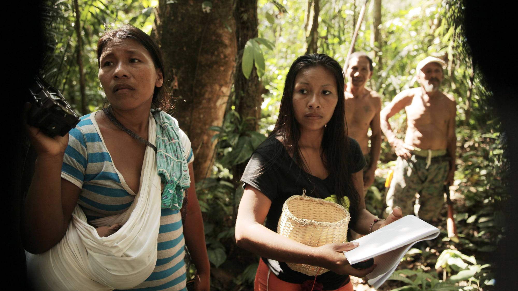
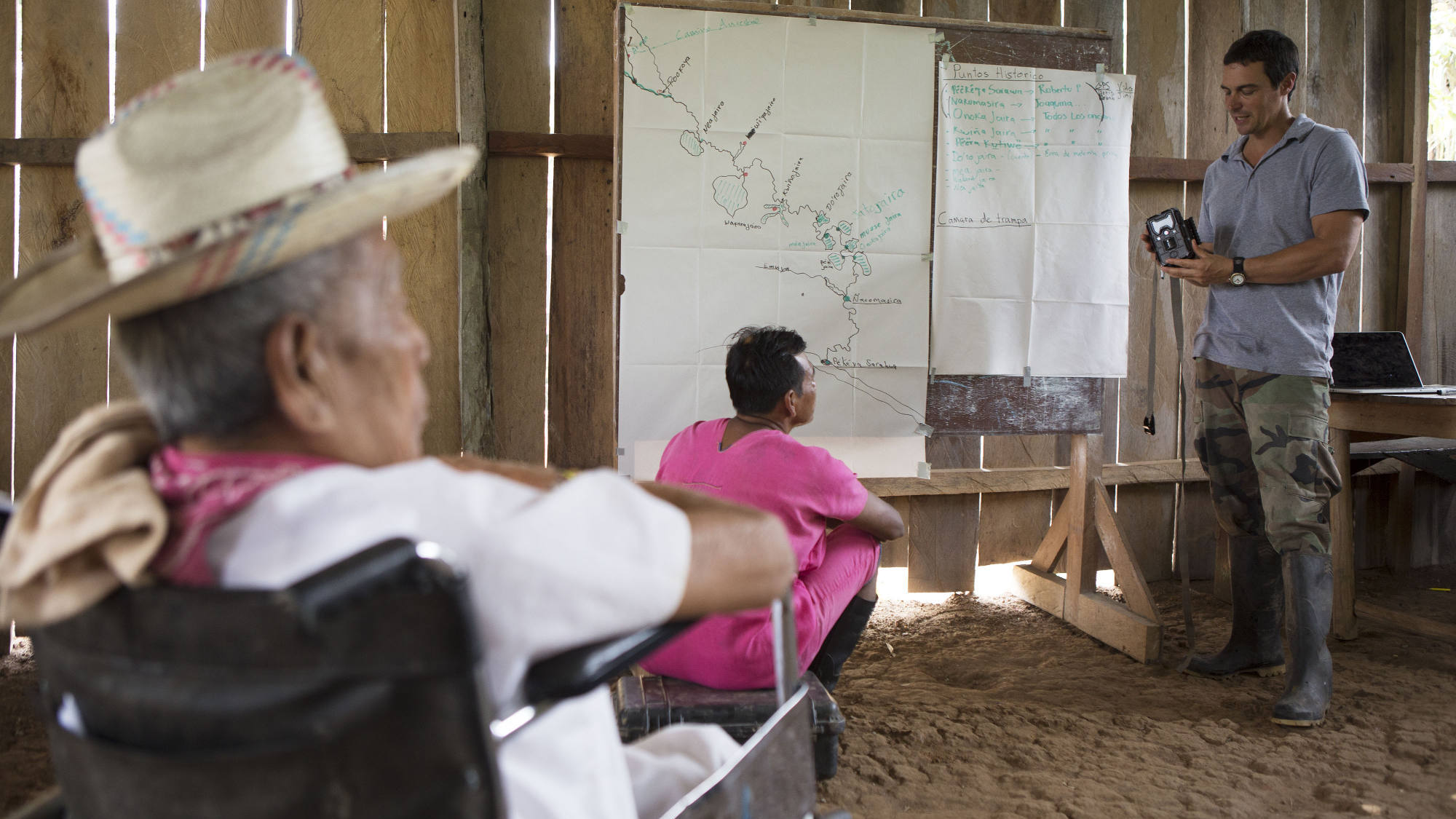
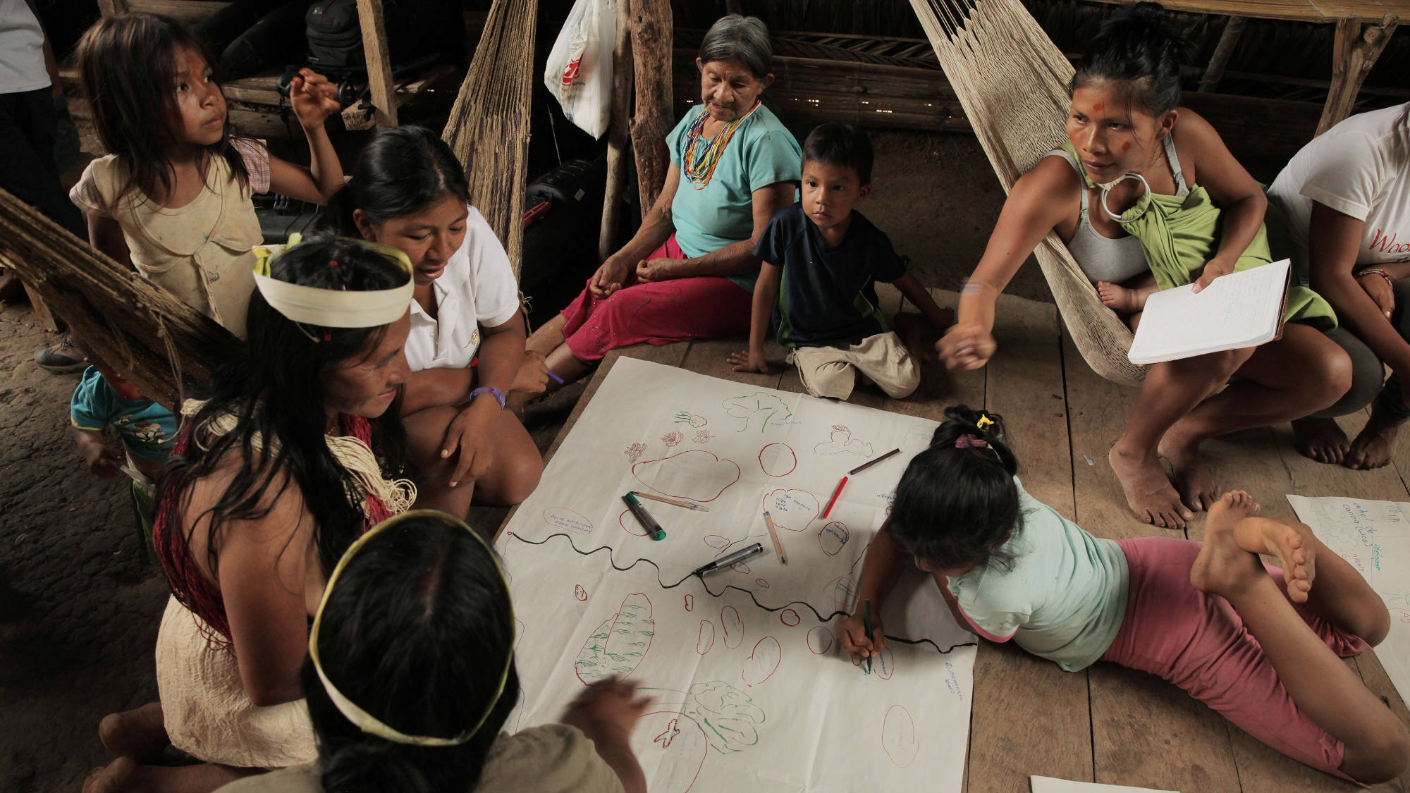
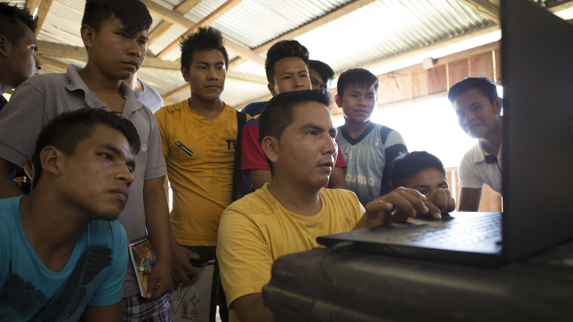
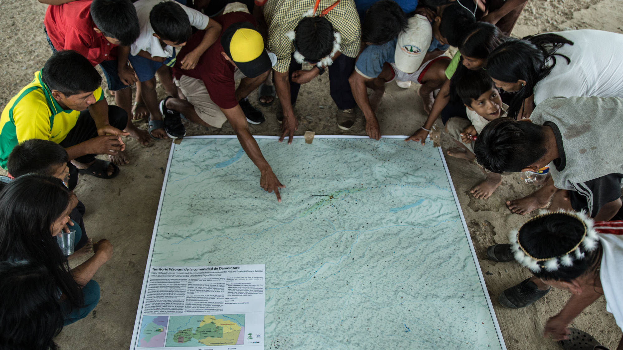
We are working with youth, women and elders of each nation to map their territories, documenting historic and mythological battle sites, ancestral migration routes, old village grounds, gardens and orchards, creeks and hunting trails. For each nation their territory is what gives them life.
We are supporting them to produce territorial maps (both printed and online) that document the historic and actual uses of their territory, and that demonstrate that their rainforest homeland is not up for grabs.
The Technology
Mapping Technology, developed by Digital Democracy
Mapeo is an open source, offline map editor. It makes it easy for individuals or teams to create maps and organize stories and knowledge. Mapeo leverages the same easy-to-use editor and flexible data structure as OpenStreetMap. It is powered by a peer-to-peer database that enables offline collaboration and control over data sharing. Digital Democracy is building Mapeo in collaboration with Alianza Ceibo, Amazon Frontlines and other indigenous partners in the Amazon, based on our requests for an easier way to create and edit our own maps so as to defend our lands and cultures.

